
Population 244 (2006 census) Local time Friday 10:05 AM | Postcode(s) 7258 Postal code 7258 Lga City of Launceston | |
 | ||
Location 11.2 km (7 mi) from Launceston Weather 18°C, Wind S at 21 km/h, 71% Humidity | ||
Breadalbane /brɛˈdoʊlbɪn/ is a Tasmanian town, situated on the Midlands Highway, 11.2 kilometres (7.0 mi) from Launceston, Breadalbane was named by Governor Macquarie after the Earl of Breadalbane, his wife's cousin. Earlier the district was known as 'Cocked Hat', 'The Springs' and 'Brumby's Plain'.
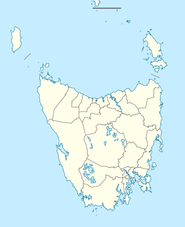
Map of Breadalbane TAS 7258, Australia
Breadalbane Post Office opened on 1 October 1847 and closed in 1968.
The Breadalbane area was notorious in the early 19th century for sheep stealing. In the colonial days there were three inns at Breadalbane, The Albion, The Temperance Hotel, and The Woolpack Inn (today, only the Woolpack Inn still stands).
Today, there is an important roundabout at Breadalbane at the entrance to the city of Launceston, and Launceston Airport.
References
Breadalbane, Tasmania Wikipedia(Text) CC BY-SA