Supriya Ghosh (Editor)

Brazil–Colombia border

Updated on
Edit
Like
Comment
Share on FacebookTweet on TwitterShare on LinkedInShare on Reddit
Brazil–Colombia border staticpanoramiocomphotosoriginal17767301jpg

The border between Brazil and Colombia is 1644,2 km long. The boundary was delimited in two treaties:

  • the Vásquez Cobo-Martins treaty of 1907, establishing the line from the Rio Negro northwestward along the Amazon River-Orinoco watershed divide, "then generally southward along various river courses and straight-line segments to the mouth of the Apaporis River", and
  • the Tratado de Límites y Navegación Fluvial of 1928, delimiting the Apaporis-Amazon segment of the boundary as a "geodesic line identical to its Brazilian-Peruvian antecedent after Colombia gained undisputed sovereignty over the area".
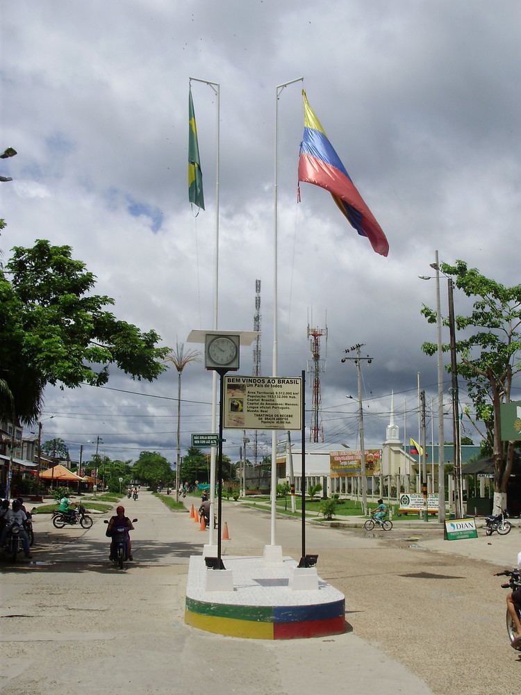
  • The border between Brazil and Colombia has been an important transit point for cocaine. In August 2000, Brazilian President Fernando Henrique Cardoso established a $10 million "Plan Cobra" to secure the border against narcotics traffickers moving into the unpatrolled upper Amazon River basin.

    Border towns

  •  Brazil: Tabatinga, Benjamin Constant, Lauarete, Vila Bittencourt, Ipiranga, Cucui.
  •  Colombia: Leticia, Tarapacá, La Pedrera, Mitú, Taraira, Yavaraté, La Guadalupe.
  • References

    Brazil–Colombia border Wikipedia