LGA(s) Gundagai Council Local time Friday 7:34 AM | County Harden Elevation 295 m | |
 | ||
Location 362 km (225 mi) from Sydney110 km (68 mi) from Wagga Wagga29 km (18 mi) from Coolac12 km (7 mi) from Cootamundra Weather 18°C, Wind E at 10 km/h, 81% Humidity | ||
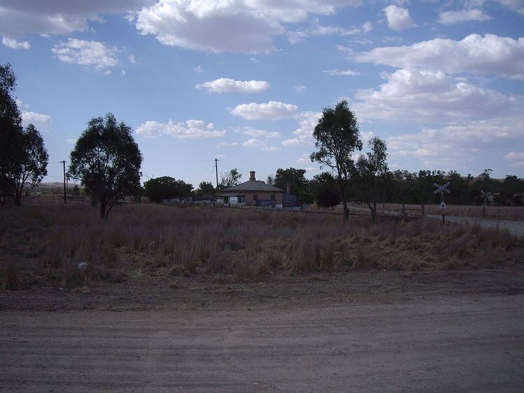
Brawlin is a small community in the north east part of the Riverina and situated about 12 kilometres south from Cootamundra and 29 kilometres north from Coolac.
Brawlin Post Office opened on 1 February 1880 and closed in 1951.
Brawlin is the site of a railway siding used to unload and upload goods, however that siding is no longer in operation. The community location is only found by taking the Brawlin to Lockhart dirt road that runs west off the Coolac to Cootamundra road.
References
Brawlin, New South Wales Wikipedia(Text) CC BY-SA
