
OS grid reference NT895375 Sovereign state United Kingdom UK parliament constituency Berwick-upon-Tweed | Unitary authority Local time Thursday 6:21 PM Post town Berwick-upon-Tweed | |
 | ||
Population 123 (2011. Including Kilham) Weather 4°C, Wind SW at 29 km/h, 84% Humidity | ||
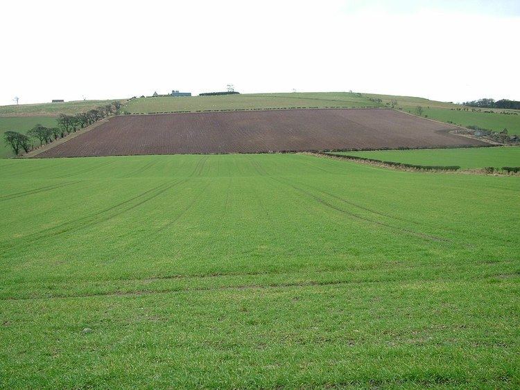
Branxton is a village and civil parish in northern Northumberland, England. It lies about 3 miles (5 km) from the England-Scotland border and about 4 miles (6 km) from the Scottish border town of Coldstream, just off the A697 Newcastle-Edinburgh road. It has a population of 121, rising slightly to 123 at the 2011 Census.
Contents
Map of Branxton, Cornhill-on-Tweed, UK
Landmarks
Branxton is very close to the site of the Battle of Flodden, fought on 9 September 1513 between Scotland and England, the latter prevailing. A granite cross on the nearby Piper Hill (UK map reference NT890373) commemorates the battle.
Pallinsburn House, an 18th-century country mansion, stands nearby.
There is a painted concrete menagerie in the garden of one of the houses in the village. The sculptures were made, starting in 1962, by James Beveridge to designs by retired joiner John Fairnington (d. 1981) to amuse his disabled son, Edwin. As well as animals, there are statues of Winston Churchill, T. E. Lawrence and Robert Burns, and many texts set into the plinths and pathways. It has been a popular tourist attraction, with its own tea room, and may still be accessible by the public for free (although with a coin box for voluntary donations).
Religious sites
The parish church, dedicated to Saint Paul, occupies the site of an ancient church which was taken down and replaced by the present structure in 1849.