
Country United States GNIS feature ID 453134 Population 2,015 (2010) | FIPS code 18-07102 Elevation 232 m Local time Thursday 12:13 PM | |
 | ||
Weather 4°C, Wind W at 26 km/h, 54% Humidity Area 57.78 km² (57.5 km² Land / 28 ha Water) | ||
Brandywine Township is one of fourteen townships in Shelby County, Indiana. As of the 2010 census, its population was 2,015 and it contained 843 housing units.
Contents
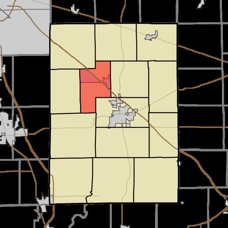
Map of Brandywine Township, IN, USA
Brandywine Township was organized in 1843.
Geography
According to the 2010 census, the township has a total area of 22.31 square miles (57.8 km2), of which 22.2 square miles (57 km2) (or 99.51%) is land and 0.11 square miles (0.28 km2) (or 0.49%) is water.
The township contains Brandywine Creek.
Cities and towns
Unincorporated towns
References
Brandywine Township, Shelby County, Indiana Wikipedia(Text) CC BY-SA