
 | ||
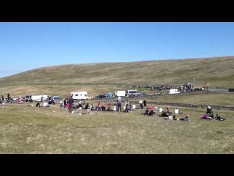
Brandywell, or Brandywell Corner, or (Manx: Chibbyr-y-Phunch or Chibbyr Slieau-ny-Maggle), is a left-curve on the Snaefell Mountain Course between its 31st and 32nd milepoints. The race course is southbound at this point, coming down the primary A18 Mountain Road from its high point. Brandywell is at the side-road junction with the B10 Brandywell Road in the parish of Kirk Michael in the Isle of Man. The A18 is one-way (southbound) during the racing season and is two-way for public use during the rest of the year.
Contents
The Brandy Well
The name Brandywell originates from a nearby water-well that was used by local shepherds to brand and sort flocks of mountain sheep. The Brandywell area is open moorland situated in the Northern Uplands of the Isle of Man, part of the common grazing land of Nobles Park which includes nearby Windy Corner and Keppel Gate. The footpath at Brandywell is an ancient ridge-way or pathway part of the Regiam Viam (Royal Way) of the Kings of Mann and now part of the Isle of Man Millennium Way public footpath.
A18 Snaefell Mountain Road
The A18 Snaefell Mountain Road was developed in the mid-nineteenth century from a number of pre-existing roads, carting-tracks and bridle paths. This included installation of a number of sheep-gates including the, Beinn-y-Phott sheep-gate and Nobles Park Gate at the Brandywell road junction. This section of the A18 Snaefell Mountain Road from the Keppel Gate northwards to Park Mooar / Park Llewellyn (North Barrule) was built on common grazing land that were transferred to the UK Crown following the sale of the Islands feudal rights by the Duke of Atholl following a report made by the Disafforesting Commission of 1860.
The area is dominated by the nearby Snaefell Mountain with an elevation of 621m (2036 feet) above sea level and the nearby summits of Beinn-y-Phott (544m), Mullagh Ouyr (491m) and Carraghan (500m). Adjacent to the side-road junction at Brandywell is an Isle of Man TT Marshall's communication shelter and a small Weather Station used by the Isle of Man Department of Infrastructure.
Motor-sport heritage
The Brandywell section of the A18 Snaefell Mountain Road was part of the 52.15 mile Highland Course (amended to 40.38 miles in 1906) and the 37.50 Mile Four Inch Course used for automobile racing including the 1904 Gordon Bennett Trial and the RAC Tourist Trophy car races held in the Isle of Man between 1905 and 1922. In 1911 the Four Inch Course for automobiles was first used by the Auto-Cycling Union for the Isle of Man TT motor-cycle races. This included the Brandywell Corner section and the course later became known as the 37.73 mile Snaefell Mountain Course and has been used since 1911 for the Isle of Man TT Races and from 1923 for the Manx Grand Prix.
The Brandywell Corner was subject to road widening with the removal of the Beinn-y-Phott sheep-gate on the A18 Mountain Road for the 1935 Isle of Man TT Races.
The B10 Brandywell Road / C37 Druidale Road with its junction with the A18 Snaefell Mountain Road at Brandywell has been used as part of a special timed stage for the Rally Isle of Man and the former Manx International Rally.
Mountain bikes
Two official mountain bike routes go through the Brandywell road junction. The first A Grand Day Out (cross country loop) a mountain bike trail of 18.5 miles follows the B10 Brandywell Road and the A18 Snaefell Mountain Road and is classified as a Red difficult route. The second official route is the St Luke's & Windy Corner (cross country loop) a mountain bike trail of 17 miles and is also classified as a Red difficult route.
Unused references