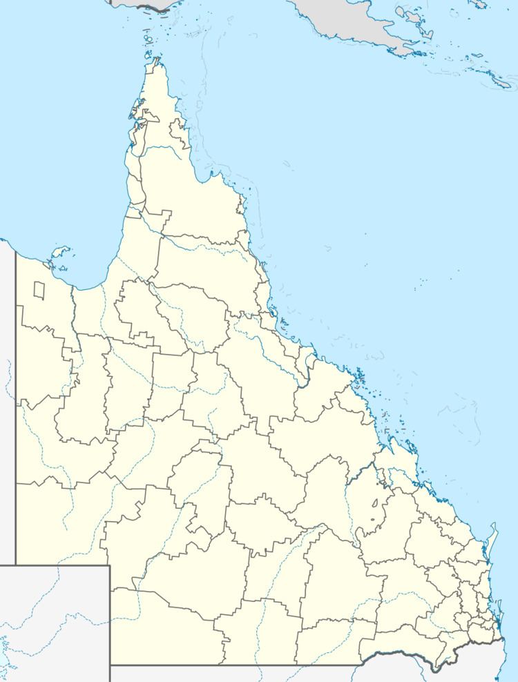
Population 1,267 (2011 census) State electorate(s) Burdekin Postal code 4808 Lga Shire of Burdekin | Postcode(s) 4808 Brandon Ayr Local time Friday 2:53 AM Federal division Division of Dawson | |
 | ||
Location 6.4 km (4 mi) WNW of Ayr
82.1 km (51 mi) ESE of Townsville
1,323 km (822 mi) NNW of Brisbane Weather 25°C, Wind SE at 10 km/h, 89% Humidity | ||
Brandon, Queensland is a small town and locality in the Shire of Burdekin, Queensland, Australia. In the 2011 census, Brandon had a population of 1,267 people.
Contents
Map of Brandon QLD 4808, Australia
Economy
Brandon is a sugarcane growing area with underground water supplies to irrigate crops. The Kalamia sugar mill in Brandon is operated by Wilmar Sugar Australia.
History
Brandon Post Office opened on 6 September 1883.
At the 2006 census, Brandon had a population of 783.
Heritage listings
Brandon has a number of heritage-listed sites, including:
References
Brandon, Queensland Wikipedia(Text) CC BY-SA
