
Country United States of America | ||
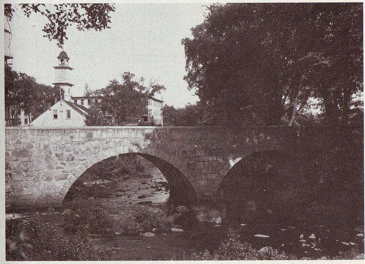 | ||
The Branch River is a river in the U.S. state of Rhode Island. It flows approximately 16 km (10 mi). There are six dams along the river's length. The river provided energy for many of the regions textile mills in the nineteenth century.
Contents
Map of Branch River, Burrillville, RI, USA
Course
The river is formed in Burrillville by the confluence of the Clear and Chepachet rivers. From there, it flows north to North Smithfield, past Slatersville and Forestdale to the Blackstone River.
Crossings
Below is a list of all crossings over the Branch River. The list starts at the headwaters and goes downstream.
Tributaries
Trout and Dawley Brooks are the Branch River's only named tributaries, though it has many unnamed streams that also feed it.
References
Branch River (Rhode Island) Wikipedia(Text) CC BY-SA