
Country United States County Butler ZIP code 67154 Elevation 422 m | Time zone Central (CST) (UTC-6) Area code(s) 620 Local time Thursday 8:10 AM | |
 | ||
Weather 2°C, Wind W at 3 km/h, 65% Humidity | ||
Brainerd is an unincorporated community in Butler County, Kansas, United States.
Contents
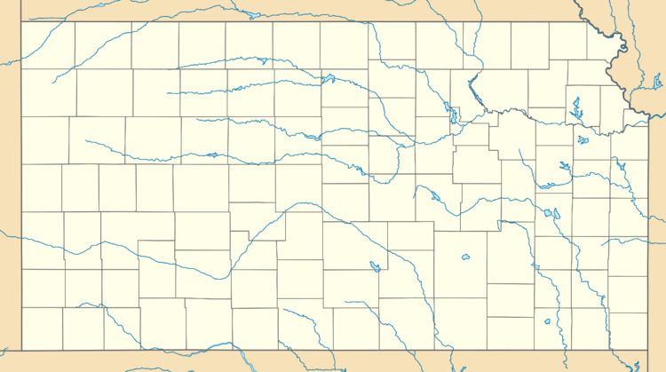
- Map of Brainerd Milton KS 67154 USA
- Early history
- 19th century
- 20th century
- 21st century
- Geography
- Primary and secondary education
- Private
- Radio
- Television
- Transportation
- Utilities
- References
Map of Brainerd, Milton, KS 67154, USA
Early history
For many millennia, the Great Plains of North America was inhabited by nomadic Native Americans. From the 16th century to 18th century, the Kingdom of France claimed ownership of large parts of North America. In 1762, after the French and Indian War, France secretly ceded New France to Spain, per the Treaty of Fontainebleau.
19th century
In 1802, Spain returned most of the land to France. In 1803, most of the land for modern day Kansas was acquired by the United States from France as part of the 828,000 square mile Louisiana Purchase for 2.83 cents per acre.
In 1854, the Kansas Territory was organized, then in 1861 Kansas became the 34th U.S. state. In 1855, Butler County was established within the Kansas Territory, which included the land for modern day Brainerd.
A post office was established in Holden on December 14, 1870, then renamed to Brainerd on January 25, 1886. The post office closed on August 31, 1907.
Brainerd sprang up mid-1880s around a depot placed on the Missouri Pacific railroad line. The community was named for Elisha B. Brainerd, an original landowner.
20th century
In 1961, Frederic Remington High School was built immediately north of Brainerd. Leading up to this new school, Whitewater, Potwin, Brainerd, Elbing, Furley, Countryside, and Golden Gate schools merged to form a joint rural high school. Heated opposition between Whitewater and Potwin occurred during the discussion for the location of the new high school. Rural voters pushed for a centralized location in neither town. A public vote was passed to build the new school near Brainerd.
21st century
In 2006, the Remington Rock monument was built near the Frederic Remington High School.
Geography
Brainerd is located at 37°57′4″N 97°5′43″W (37.9511267, -97.0953122).
Primary and secondary education
Whitewater is part of the Unified School District 206. The Remington High School mascot is a Bronco.
Private
Radio
Goessel is served by numerous radio stations of the Wichita-Hutchinson listening market area, and satellite radio. See Media in Wichita, Kansas.
Television
Goessel is served by over-the-air ATSC digital TV of the Wichita-Hutchinson viewing market area, cable TV, and satellite TV. See Media in Wichita, Kansas.
Transportation
K-196 highway runs along the south side of the community.