
Quadrant SW Established 1965 Population 5,916 (2010) | Ward 11 Elevation 1,095 m (3,593 ft) | |
 | ||
Weather -11°C, Wind S at 6 km/h, 78% Humidity Restaurants Sammy's Worlds Greatest, Sushi Ten, Joey's Urban ‑ Braeside, KFC, Subway | ||
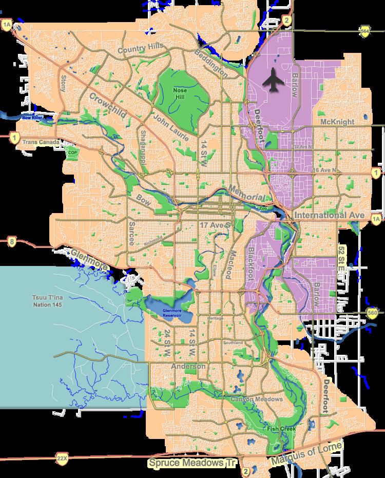
Braeside is a residential neighbourhood in the south-west quadrant of Calgary, Alberta. It is located north of Anderson Road, south of Southland Drive, west of 14th Street SW and east of 24th Street SW.
Contents
Map of Braeside, Calgary, AB, Canada
Demographics
In the City of Calgary's 2012 municipal census, Braeside had a population of 7003594000000000000♠5,940 living in 7003254400000000000♠2,544 dwellings, a -0.6% increase from its 2011 population of 7003597800000000000♠5,978. With a land area of 2 km2 (0.77 sq mi), it had a population density of 3,000/km2 (7,700/sq mi) in 2012.
As of 2000, 20.5% of the residents were immigrants. A proportion of 10.6% of the buildings were condominiums or apartments, and 19.6% of the housing was used for renting.
Education
Braeside is served by the Braeside Elementary public school. A Junior High School, John Ware, is located immediately north of the community.