
Population 9,657 (2011 Census) Civil parish Bradwell Region South East Local time Thursday 12:06 PM Ceremonial county Buckinghamshire UK parliament constituency Milton Keynes North | OS grid reference SP835395 Unitary authority Country England Dialling code 01908 Post town Borough of Milton Keynes | |
 | ||
Weather 9°C, Wind W at 29 km/h, 64% Humidity | ||
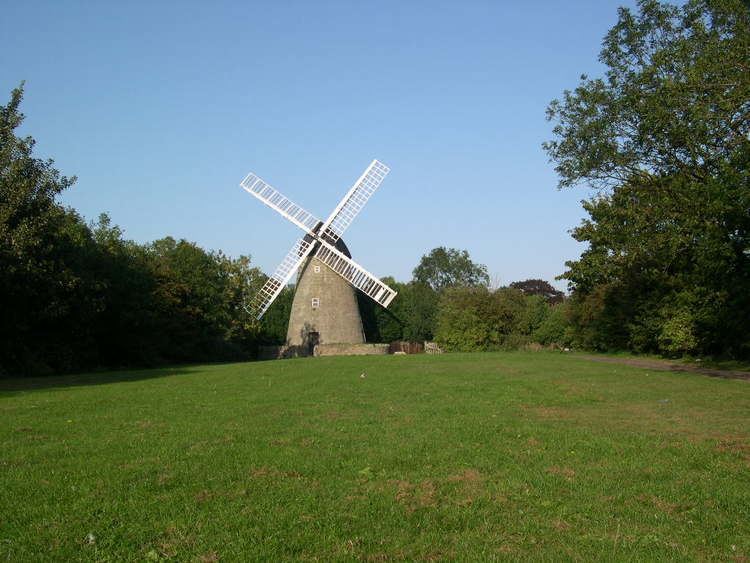
Bradwell is an ancient village, and now also the name of a New City grid-square including the old village; it has also given its name to a modern civil parish that (since 1967) is part of Milton Keynes). The village was adjacent to Bradwell Abbey, a Benedictine priory, founded in 1155 and dissolved in about 1540, but the abbey and its immediate environs were always a separate parish.
Contents
Map of Bradwell, Milton Keynes, UK
The village name is an Old English language word and means broad spring. In the Domesday Book of 1086 the village was recorded as Bradewelle.
There is an YHA youth hostel in the village at grid reference SP 831,395 on the Sustrans National Cycle Network.
Civil Parish
Bradwell also constitutes a civil parish, consisting of the Bradwell village grid square along with Heelands, Rooksley, and Bradwell Common. The parish had a population of 9,389 according to the 2001 census. The parish is bounded by the railway line to the west, Monks Way to the north, Saxon Street to the east, and the Portway to the south.
Sport and Leisure
Bradwell has a Non-League football team Old Bradwell United F.C. who play at Abbey Road.
Bradwell has a King George's Field in memorial to King George V.
There are also a number of cricket fields and football fields in the Bradwell Village area.
Rooksley, at the western edge of the parish, has an important Karting track.
Demography
At the 2001 UK census, the Bradwell electoral ward had a population of 12,445. (The ward has the same districts as the parish). The ethnicity was 88.4% white, 2.5% mixed race, 4.6% Asian, 4.0% black and 0.5% other. The place of birth of residents was 88.3% United Kingdom, 1% Republic of Ireland, 1.5% other Western European countries, and 9.2% elsewhere. Religion was recorded as 61.6% Christian, 0.6% Buddhist, 1.5% Hindu, 0.4% Sikh, 0.3% Jewish, and 3.1% Muslim. 23.7% were recorded as having no religion, 0.6% had an alternative religion and 8.3% did not state their religion.
The economic activity of residents aged 16–74 was 51.5% in full-time employment, 11.5% in part-time employment, 6.1% self-employed, 3.7% unemployed, 3.2% students with jobs, 2.8% students without jobs, 7.8% retired, 6.3% looking after home or family, 4.5% permanently sick or disabled and 2.7% economically inactive for other reasons. The industry of employment of residents was 22% retail, 13.6% manufacturing, 4.6% construction, 15.8% real estate, 7% health and social work, 6.8% education, 11% transport and communications, 4.6% public administration, 4.4% hotels and restaurants, 5.3% finance, 0.4% agriculture and 4.5% other. Compared with national figures, the ward had a relatively high proportion of workers in retail and transport and communications. There were a relatively low proportion in agriculture, health and social work, and construction. Of the ward's residents aged 16–74, 15.2% had a higher education qualification or the equivalent, compared with 19.9% nationwide.