
Interest Geological Established 1969 | Grid reference NU162320 Location map DEFRA MAGIC map Notification 1969 | |
 | ||
Area 139.4 hectares (340 acres) | ||
Bradford Kames is the name given to a Site of Special Scientific Interest (SSSI) in north Northumberland, England. The site is an esker, a ridge of glacial till deposited in the Pleistocene epoch.
Location and natural features
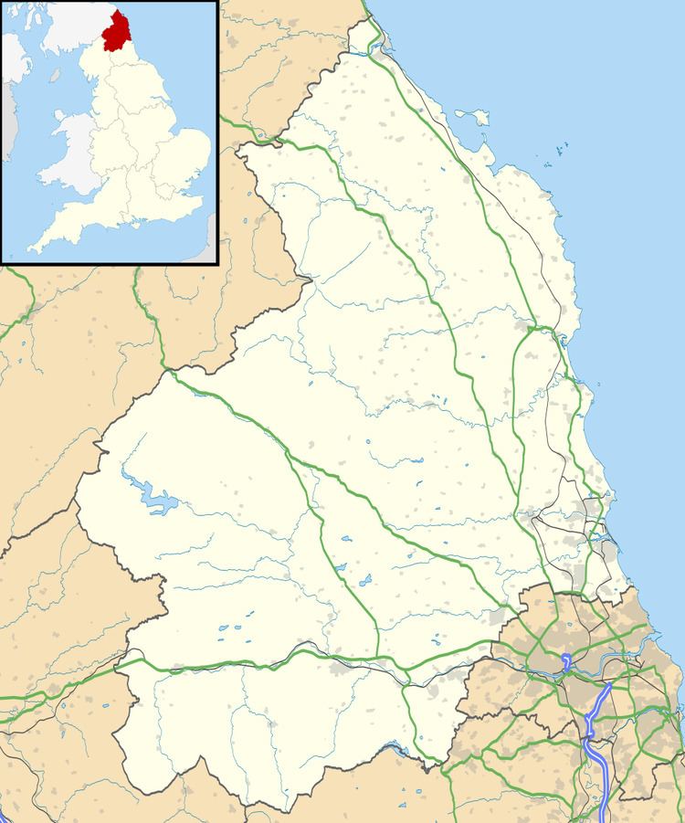
Bradford Kames is situated in the north-east of England in the county of Northumberland, some 3.5 miles (5.6 km) west of the coastal town of Seahouses. The esker is composed of a ridge and associated mounds, on a site of circa 1.75 miles (2.82 km) length orientated in a north-north-west - south-south-east direction, with the ground falling to the east. The SSSI citation for Bradford Kames describes is as providing "a striking example of the complex landform and sediment associations that developed during the wastage of the last ice sheet."
At the north end of the site, Spindlestones Pond provides a habitat for great crested newts.
The condition of Bradford Kames was judged to be favourable in 2011.