
Population 1,112 (2011) Sovereign state United Kingdom Local time Saturday 6:54 AM District Tendring | OS grid reference TM144308 Post town MANNINGTREE | |
 | ||
Weather 8°C, Wind SW at 10 km/h, 95% Humidity | ||
Bradfield is a village and civil parish in Essex, England. It is located about 3 miles (5 km) east of Manningtree and is 31 miles (50 km) northeast from the county town of Chelmsford. The village is in the district of Tendring and the parliamentary constituency of North Essex. There is a Parish Council. The 2001 National Census recorded a population of 1,094, rising to 1,112 at the 2011 Census.
Contents
Map of Bradfield, UK
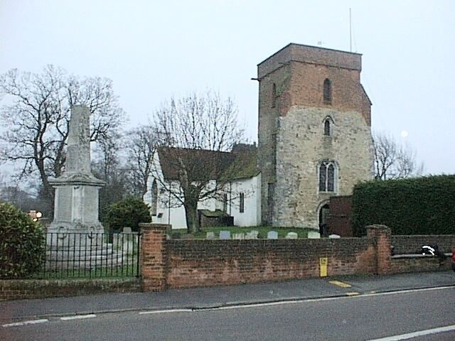
The Anglican church is dedicated to Saint Lawrence. One of the windows commemorates Edwin Harris Dunning, the first pilot to land an aircraft on a moving ship.
The village is close to the River Stour.
Bradfield is home to Bradfield Primary School.
Governance
Bradfield is part of the electoral ward called Bradfield, Wrabness and Wix. The population of this ward at the 2011 Census was 2,223.