
OS grid reference NY2946 Country England Post town WIGTON Local time Saturday 6:14 AM District Allerdale Civil parish Westward, Cumbria | Region North West Sovereign state United Kingdom Postcode district CA7 Shire county Cumbria Dialling code 01697 UK parliament constituency Penrith and The Border | |
 | ||
Weather 7°C, Wind E at 8 km/h, 89% Humidity | ||
Brackenthwaite is a settlement situated some 3 miles (4.8 km) south-east of the town of Wigton in the English county of Cumbria. It should not be confused with the identically named settlement of Brackenthwaite that is situated some 6 miles (9.7 km) south of Cockermouth in the same county.
Contents
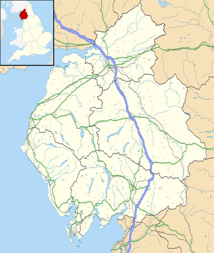
Map of Brackenthwaite, Wigton, UK
For administrative purposes, Brackenthwaite lies within the civil parish of Westward, the district of Allerdale, and the county of Cumbria. It is within the Penrith and The Border constituency of the United Kingdom Parliament, and the North West England constituency of the European Parliament.
Etymology
Bracanethuaite 12th Century. Old Norse brakni 'bush' and thveit 'assart' like Bregentved (Denmark) and Bracquetuit (Normandy).
References
Brackenthwaite, Westward Parish, Cumbria Wikipedia(Text) CC BY-SA