
Country United States Time zone CST (UTC-6) Elevation 174 m Population 6,467 (2010) | Established November 6, 1849 ZIP codes 60407, 60416, 60424 Area 46.83 km² Local time Friday 12:32 PM | |
 | ||
Weather -1°C, Wind W at 11 km/h, 45% Humidity | ||
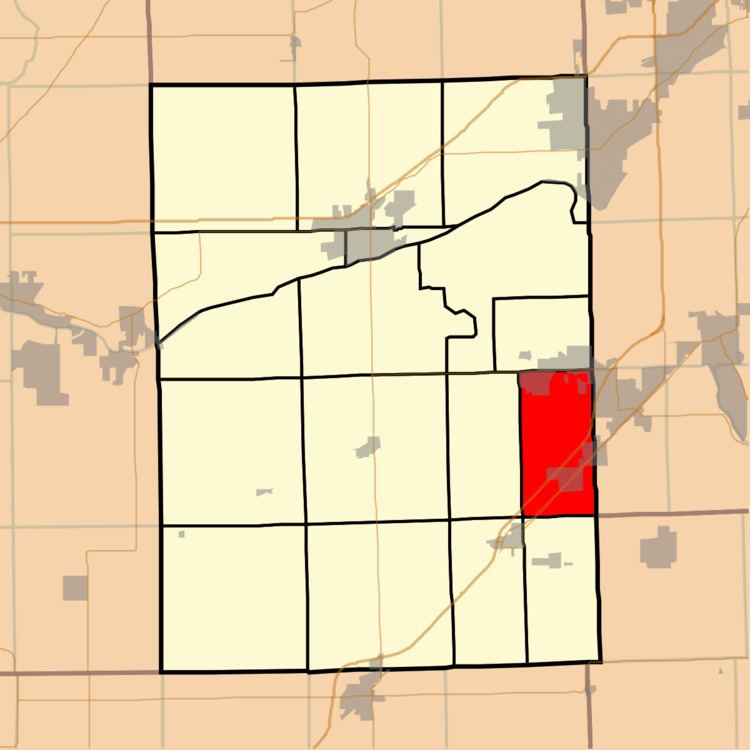
Braceville Township is one of seventeen townships in Grundy County, Illinois, USA. As of the 2010 census, its population was 6,467 and it contained 2,510 housing units.
Contents
- Map of Braceville Township IL USA
- Geography
- Cities towns villages
- Unincorporated towns
- Extinct towns
- Cemeteries
- Major highways
- School districts
- Political districts
- References
Map of Braceville Township, IL, USA
Geography
According to the 2010 census, the township has a total area of 18.08 square miles (46.8 km2), of which 17.88 square miles (46.3 km2) (or 98.89%) is land and 0.2 square miles (0.52 km2) (or 1.11%) is water.
Cities, towns, villages
Unincorporated towns
(This list is based on USGS data and may include former settlements.)
Extinct towns
(These towns are listed as "historical" by the USGS.)
Cemeteries
The township contains Cotton Cemetery.
Major highways
School districts
Political districts
References
Braceville Township, Grundy County, Illinois Wikipedia(Text) CC BY-SA