
Canton Les Aix-d'Angillon Area 39.63 km² | Intercommunality Terroirs d’Angillon Local time Sunday 5:20 AM | |
 | ||
Weather 4°C, Wind SW at 16 km/h, 92% Humidity | ||
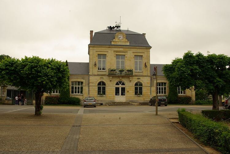
Brécy is a commune in the Cher department in the Centre region of France.
Contents
Map of 18220 Br%C3%A9cy, France
Geography
An area of forestry and farming comprising the village and five hamlets situated by the banks of the Tripande river, some 10 miles (16 km) east of Bourges at the junction of the D151 with the D12 and D52 roads. The commune lies on the pilgrimage route known as the Way of St. James.
Sights
References
Brécy, Cher Wikipedia(Text) CC BY-SA