
Country United States ZIP code 99107 Elevation 412 m Population 34 (2010) | Time zone Pacific (PST) (UTC-8) Area code(s) 509 Area 50 ha Local time Friday 8:02 AM | |
 | ||
Weather 3°C, Wind S at 14 km/h, 77% Humidity | ||
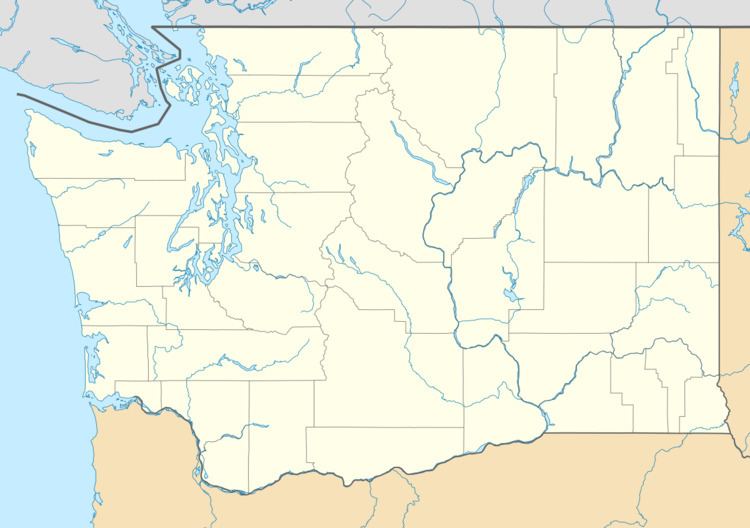
Boyds is an unincorporated community and census-designated place (CDP) in Ferry County, Washington, United States. Boyds is located along U.S. Route 395 at the north end of the Lake Roosevelt National Recreation Area on the west side of the Kettle River, which serves as a boundary with Stevens County. The community of Barstow is 4 miles (6 km) to the north, and the city of Kettle Falls is 10 miles (16 km) to the south on US 395. Boyds is assigned the ZIP code 99107 and had a 2010 census population of 34.
Map of Boyds, WA 99141, USA
References
Boyds, Washington Wikipedia(Text) CC BY-SA