
Population 713 (2011 census) State electorate(s) Goulburn Postal code 2582 Federal division Division of Hume | Postcode(s) 2582 Elevation 602 m Local time Friday 11:40 PM | |
 | ||
Location 10 km (6 mi) from Yass
19 km (12 mi) from Bookham Weather 18°C, Wind E at 23 km/h, 77% Humidity | ||
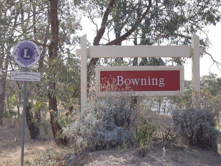
Bowning, altitude: 602m, is a small town in the Southern Tablelands, 14 km west of Yass on the Hume Highway in Yass Valley Shire. Bowning is an aboriginal word meaning big hill. At the 2011 census, Bowning and the surrounding area had a population of 713.
Contents
Map of Bowning NSW 2582, Australia
Nearby Bowning Hill is 796 metres above sea level and Hume and Hovell mentioned it in their 1824 journal. Bowning was one of the earliest settlements in the district.
Historic buildings include the Troopers Cottage on the Binalong Road and the old Cobb and Co Coaching Station in Bogolong Street. The coaching station was built sometime between 1850 and 1870. The original local school was amongst the earliest established schools in inland New South Wales, founded in 1849, but now replaced.
Railway
Bowning railway station is on the Main South railway line, and opened in 1876 consisting of two island platforms. The station closed in 1992; however, the structure is still largely intact with a double storey station building on the down platform (now a local craft shop).