
Time zone CST (UTC-6) Area 124.5 km² Population 668 (2010) | Established November 5, 1867 Elevation 194 m Local time Friday 5:02 AM | |
 | ||
ZIP codes 61910, 61919, 61930, 61953 Weather -4°C, Wind NW at 18 km/h, 76% Humidity | ||
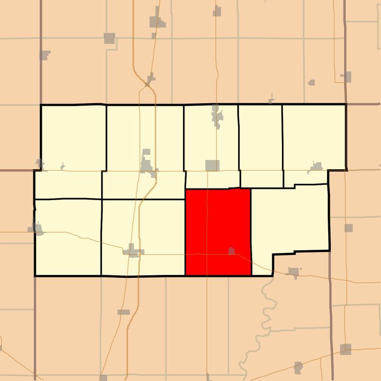
Bowdre Township is one of nine townships in Douglas County, Illinois, USA. As of the 2010 census, its population was 668 and it contained 323 housing units. Its name was changed from Deer Creek to Bowdre on June 5, 1868.
Contents
- Map of Bowdre Township IL USA
- Geography
- Cities towns villages
- Unincorporated towns
- Cemeteries
- Major highways
- School districts
- Political districts
- References
Map of Bowdre Township, IL, USA
Geography
According to the 2010 census, the township has a total area of 48.06 square miles (124.5 km2), of which 48.05 square miles (124.4 km2) (or 99.98%) is land and 0.01 square miles (0.026 km2) (or 0.02%) is water.
Cities, towns, villages
Unincorporated towns
Cemeteries
The township contains these three cemeteries: Antioch, Gill and Van Voorhis.
Major highways
School districts
Political districts
References
Bowdre Township, Douglas County, Illinois Wikipedia(Text) CC BY-SA