
Country United States Time zone Pacific (PST) (UTC-8) Local time Friday 1:15 AM | Elevation 5,374 ft (1,638 m) Area code(s) 458 and 541 | |
 | ||
Weather 1°C, Wind SW at 10 km/h, 98% Humidity | ||
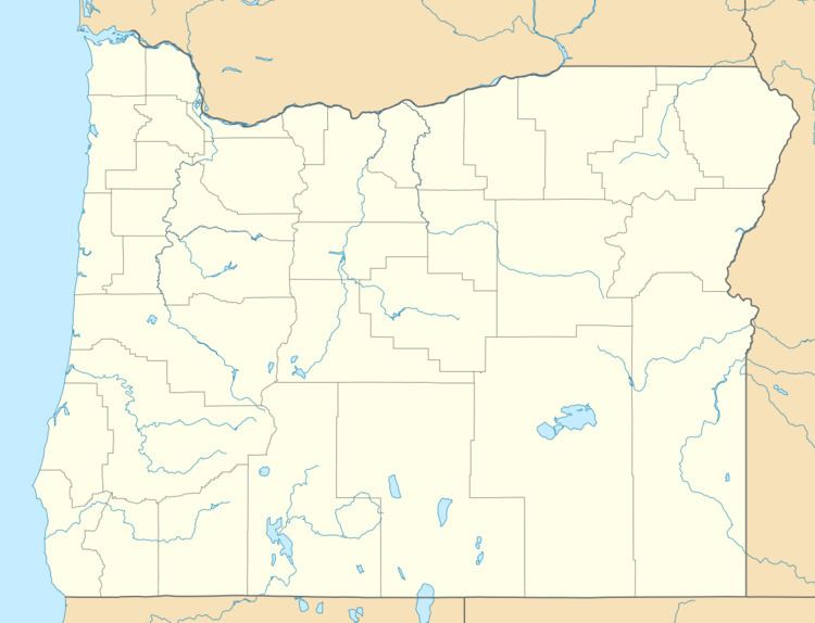
Bourne is a ghost town in Baker County, Oregon, United States about 7 miles (11 km) north of Sumpter in the Blue Mountains. It lies on Cracker Creek and is within the Wallowa–Whitman National Forest. Platted in 1902, the former gold mining boomtown is considered a ghost town today.
Map of Bourne, OR 97814, USA
Originally named "Cracker City", Bourne is named after Senator Jonathan Bourne, Jr., who was interested in Eastern Oregon mines for a time. Bourne post office was established in 1895 and closed in 1927.
References
Bourne, Oregon Wikipedia(Text) CC BY-SA