
Area 43,000 km² Local time Friday 8:47 AM | Time zone GMT (UTC+0) Population 115,958 (2009) | |
 | ||
Weather 26°C, Wind N at 19 km/h, 8% Humidity | ||
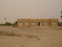
Bourem Cercle is an administrative subdivision of the Gao Region of north-eastern Mali. The administrative center (chef-lieu) is the town of Bourem.
Map of Bourem, Mali
The cercle is divided into five communes:
References
Bourem Cercle Wikipedia(Text) CC BY-SA