
Time zone CST (UTC-6) Elevation 203 m Population 4,124 (2010) | Established November 5, 1867 ZIP codes 61910, 61911, 61953 Area 111.6 km² Local time Friday 2:37 AM | |
 | ||
Weather -3°C, Wind NW at 19 km/h, 80% Humidity | ||
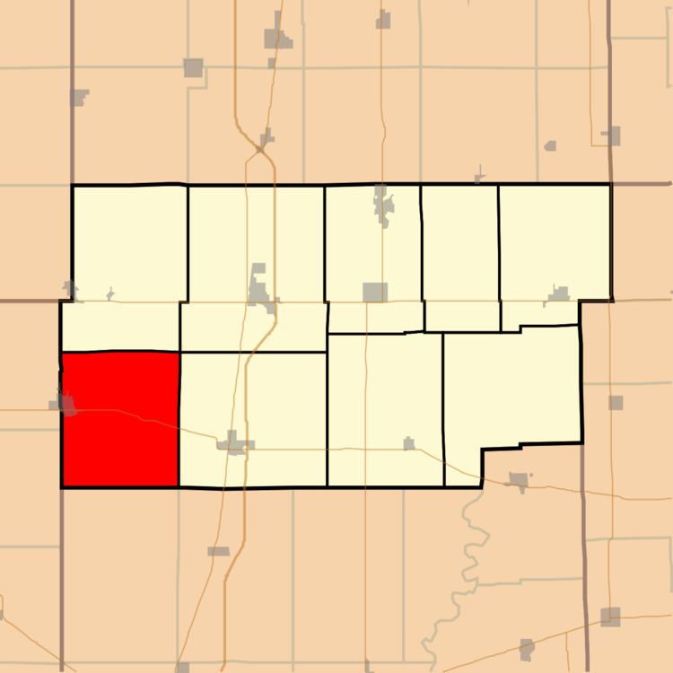
Bourbon Township is one of nine townships in Douglas County, Illinois, USA. As of the 2010 census, its population was 4,124 and it contained 1,352 housing units.
Contents
- Map of Bourbon Township IL USA
- Geography
- Cities towns villages
- Unincorporated towns
- Extinct towns
- Cemeteries
- Major highways
- School districts
- Political districts
- References
Map of Bourbon Township, IL, USA
Geography
According to the 2010 census, the township has a total area of 43.1 square miles (112 km2), of which 43.08 square miles (111.6 km2) (or 99.95%) is land and 0.02 square miles (0.052 km2) (or 0.05%) is water.
Cities, towns, villages
Unincorporated towns
Extinct towns
(These towns are listed as "historical" by the USGS.)
Cemeteries
The township contains these six cemeteries: Bourbon, Campbell, Fillmore, Miller, Yoder and Yoder.
Major highways
School districts
Political districts
References
Bourbon Township, Douglas County, Illinois Wikipedia(Text) CC BY-SA