
Location Bass Strait Length 85 m (279 ft) Archipelago Hogan Group | Area 2 ha (4.9 acres) States Tasmania and Victoria | |
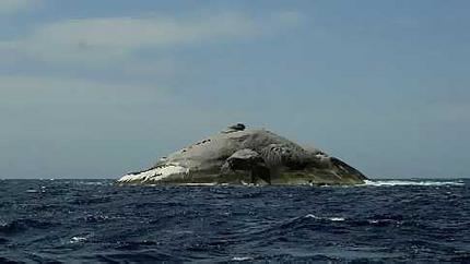 | ||
Boundary Islet, historically known as North East Islet, part of the Hogan Island Group, is a two-hectare (4.9-acre) islet that straddles the border of the Australian states of Victoria and Tasmania.
Map of Boundary Islet, Tasmania, Australia
The islet is Tasmania's only land boundary, and at 85 metres (279 ft) long, it is the shortest land border between any Australian states or territory.
It is located at latitude 39°12′ S, about 56 kilometres (35 mi) east of the southernmost point of mainland Victoria. The boundary between Victoria and Tasmania is a parallel similarly at latitude 39°12′. The position of the island was surveyed in 1801 by Captain John Black, who erred in placing the islet further north than it is. It was later found that the border at 39°12′ S passed through the islet.