
OS grid reference R Post town BUCKINGHAM Dialling code 01296 | Sovereign state United Kingdom Postcode district MK18 | |
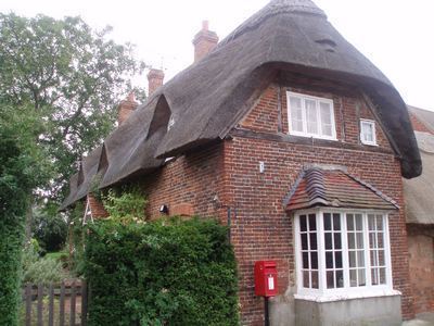 | ||
Botolph Claydon is a hamlet in the civil parish of East Claydon (where the 2011 Census population is included), in Buckinghamshire, England. It is situated about 9 miles east of Bicester in Oxfordshire, and 7 miles north west of Aylesbury.
Map of Botolph Claydon, Buckingham, UK
Anciently the hamlet was called Botyl Claydon. The prefix comes from the Anglo-Saxon word botyl meaning 'house'. The word Claydon is also Anglo Saxon, and means 'clay hill'.
References
Botolph Claydon Wikipedia(Text) CC BY-SA