
OS grid reference SP9802 Post town CHESHAM Dialling code 01494 | Sovereign state United Kingdom Postcode district HP5 District Chiltern District Civil parish Chesham | |
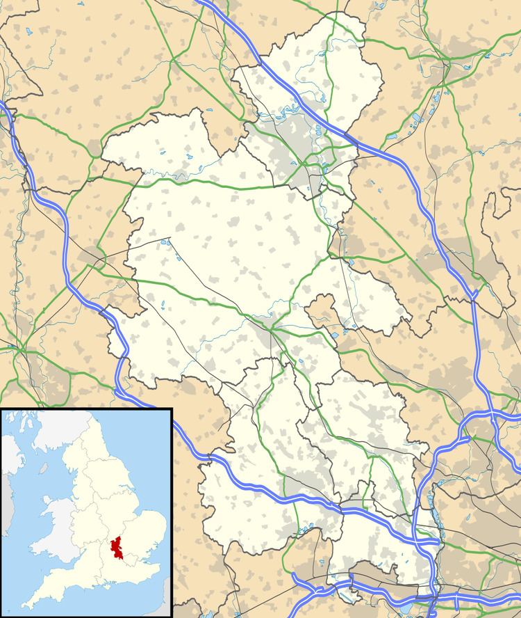 | ||
Botley is a hamlet in the civil parish of Chesham (where the 2011 Census population was included), in Buckinghamshire, England.
Map of Botley, Chesham, UK
The hamlet name is Anglo Saxon in origin, and means Botta's Clearing.
Botley includes the Hen and Chickens public house, Botley Stores shop and Goose Acre pond. Most of the houses in Botley are on Botley Road. Botley is divided between the civil parishes of Chesham and Latimer. Botley merges into the village of Ley Hill.
References
Botley, Buckinghamshire Wikipedia(Text) CC BY-SA