
Country Canada Census division 7 Highways Highway 12Highway 850 Population 204 (2016) Province Alberta | Time zone MST (UTC-7) Area 109 ha Local time Thursday 3:53 PM | |
 | ||
Weather -1°C, Wind S at 21 km/h, 76% Humidity | ||
Botha is a village in central Alberta, Canada. It is located east of Stettler. The town was founded in 1909 around the train station named after Louis Botha.
Contents
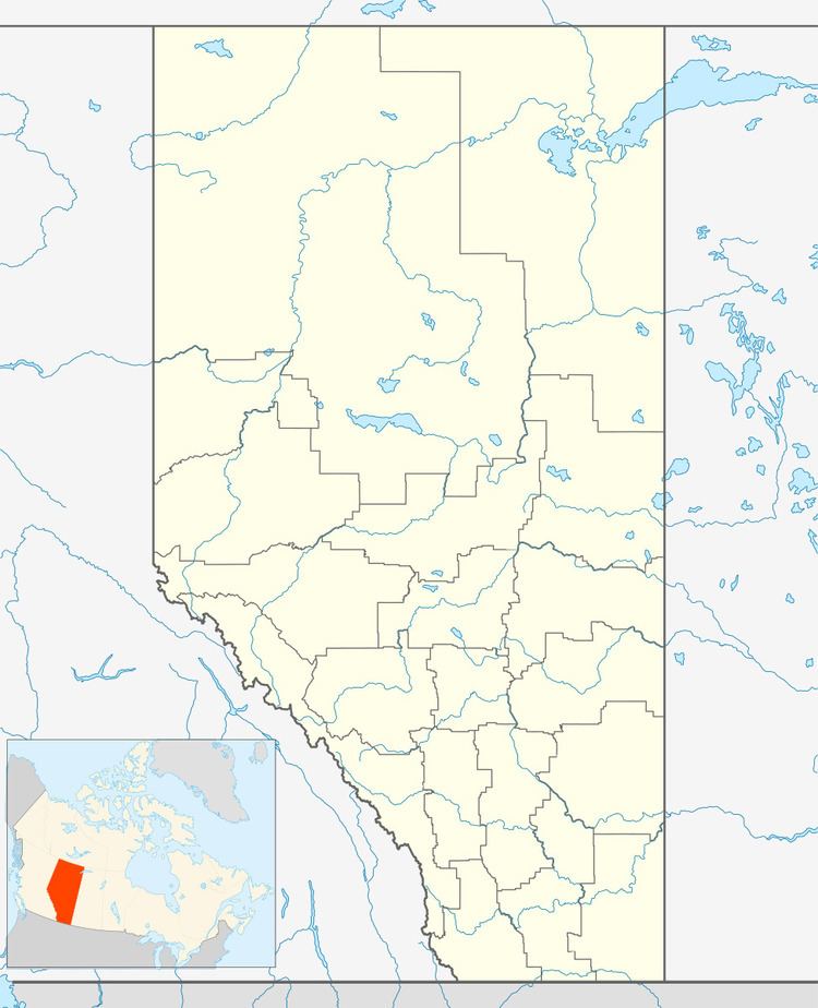
Map of Botha, AB, Canada
Demographics
In the 2016 Census of Population conducted by Statistics Canada, the Village of Botha recorded a population of 204 living in 80 of its 81 total private dwellings, a 7001166000000000000♠16.6% change from its 2011 population of 175. With a land area of 1.1 km2 (0.42 sq mi), it had a population density of 185.5/km2 (480.3/sq mi) in 2016.
In the 2011 Census, the Village of Botha had a population of 175 living in 71 of its 74 total dwellings, a -5.4% change from its 2006 population of 185. With a land area of 1.09 km2 (0.42 sq mi), it had a population density of 160.6/km2 (415.8/sq mi) in 2011.
In 2006, Botha had a population of 185 living in 75 dwellings, a 0.5% decrease from 2001. The Village has an area of 1.09 km2 (0.42 sq mi) and a population density of 169.9 inhabitants per square kilometer.
Education
Botha School is part of Clearview Public Schools.