
Country United States City St. Louis ZIP code(s) Part of 63110 Area 106 ha Area code 314 | State Missouri Wards 17 Website stlouis-mo.gov Population 1,037 (2010) | |
 | ||
Restaurants Nixta, ELAIA, Old Standard Fried Chi, R‑BarSTL, OLIO | ||
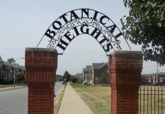
Botanical Heights is a neighborhood of St. Louis, Missouri. Its former name was McRee Town. The Botanical Heights neighborhood is defined by Chouteau Avenue on the North, Interstate 44 on the South, 39th Street on the East and Vandeventer Avenue on the West. This near Southside neighborhood is located just north of the Shaw neighborhood.
Contents
Map of Botanical Heights, St. Louis, MO 63110, USA
Demographics
In 2010 Botanical Heights' population was 74.4% Black, 20.3% White, 0.2% Native American, 1.7% Asian, 2.6% Two or More Races, and 0.7% Some Other Race. 2.1% of the neighborhood's population was of Hispanic or Latino origin, 20.3% have a High school education.
References
Botanical Heights, St. Louis Wikipedia(Text) CC BY-SA