
Established 1856 Area 91.7 km² Area code 053 | Postal code (street) 8340 Population 8,509 (2011) Local time Thursday 8:53 PM | |
 | ||
Weather 23°C, Wind W at 2 km/h, 68% Humidity | ||
Boshof is a farming town in the west of the Free State province, South Africa.
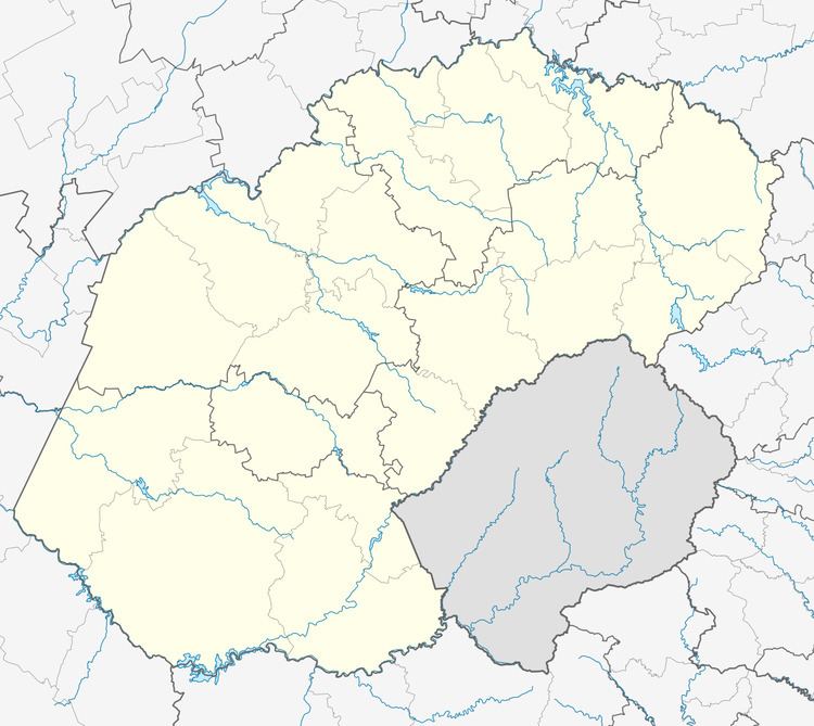
Map of Boshof, South Africa
Town 55 km north-east of Kimberley. Established in March 1856 on the farm Vanwyksvlei, which had been named after a Griqua who sowed his crops on it from time to time. Named in honour of Jacobus Nicolaas Boshof (1808-1881), second President of the Orange Free State (1855–59) and founder of its civil service. Became a municipality in 1872.
The local commando was involved in the Siege of Kimberley, notably the disruption of the city's water supply at Riverton.
References
Boshof Wikipedia(Text) CC BY-SA