
Sovereign state United Kingdom Region West Midlands Admin HQ Tamworth | Constituent country England Non-metropolitan county Staffordshire Area 30.85 km² | |
 | ||
Status Non-metropolitan district Points of interest Drayton Manor Theme P, Church of St Editha - Tamworth, Dosthill Park, Shipley Estates, Castle Grounds | ||
Tamworth is a local government district with borough status in Staffordshire in England. It is named after Tamworth which is the town in which it covers.
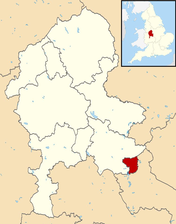
Map of Tamworth District, UK
Areas of Tamworth include Amington, Belgrave, Bolehall, Coton Green, Dosthill, Glascote, Stonydelph and Wilnecote. The town of Fazeley, despite bordering Tamworth is within the Lichfield District.
The borough is completely unparished.
The borough council has been Conservative-controlled since 2004, but was Labour-controlled since the early 1980s. At the last election, May 2016, the Conservative Party held the borough. The council is now made up of with 20 Conservative councillors, 7 Labour Councillors and 3 UKIP councillors. The Mayor for 2015/16 is Cllr Ken Norci (Labour).
Since 2011, Tamworth has formed part of the Greater Birmingham & Solihull Local Enterprise Partnership along with neighbouring authorities Birmingham, Bromsgrove, Cannock Chase, East Staffordshire, Lichfield, Redditch, Solihull and Wyre Forest. Tamworth is also a non-constituent member of the West Midlands Combined Authority.
Tamworth Council elects by thirds. Meaning there is an election of 1 councillor for each of the 10 wards over a three-year period. The fourth year see elections to Staffordshire County Council. Councillors are elected for a four-year term.
The council has a cabinet system of governance, the Leader of the council is Cllr Daniel Cook and the Deputy Leader is Cllr Robert Pritchard.