Population Uninhabited | Length 1.9 km (1.18 mi) | |
 | ||
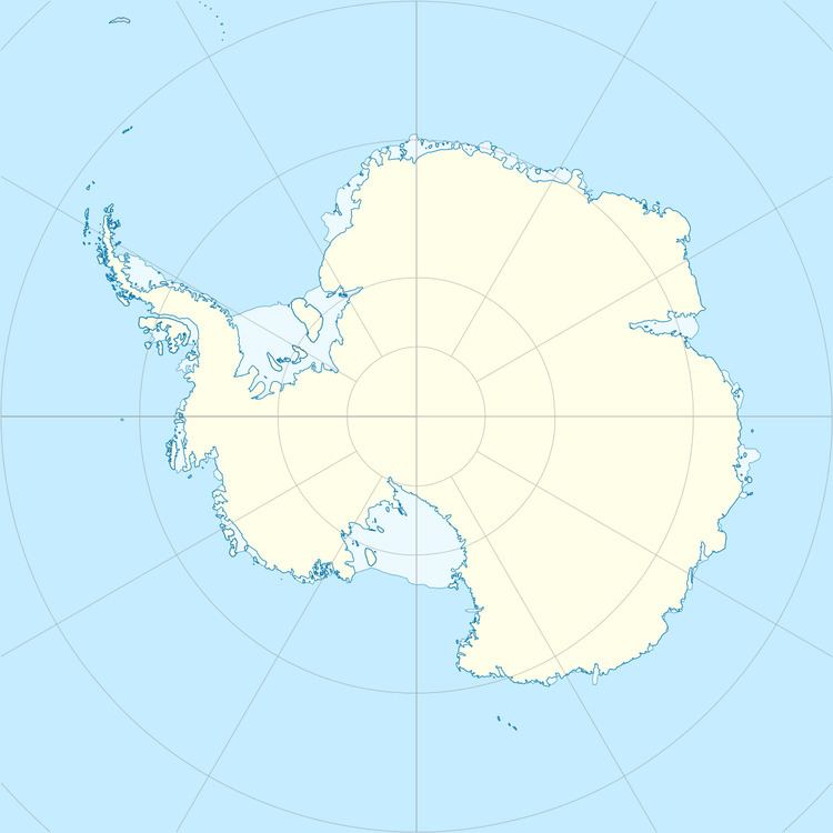
Borg Island (66°58′S 57°35′E) is an island 1.9 kilometres (1 nmi) long in the eastern part of the Øygarden Group. It was mapped by Norwegian cartographers from aerial photos taken by the Lars Christensen Expedition, 1936–37, and called by them "Borgoy" (castle island).
References
Borg Island Wikipedia(Text) CC BY-SA
