
Country United States County Allegany FIPS code 24-71460 Elevation 547 m Local time Monday 7:55 PM | State Maryland Time zone Eastern (EST) (UTC-5) GNIS feature ID 2583687 Area 206 ha Population 235 (2010) | |
 | ||
Weather 5°C, Wind S at 3 km/h, 79% Humidity | ||
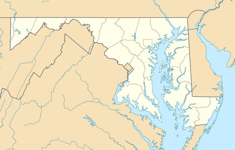
Shaft is a census-designated place (CDP) corresponding to the unincorporated community of Borden Shaft in Allegany County, Maryland, United States. As of the 2010 census, the CDP had a population of 235. It is located south of Frostburg, in the Georges Creek Valley. It lies at an elevation of 1,795 feet (547 m).Borden, or Borden Shaft, was the site of a major deep mine in the Valley. The principal owners of the mines were the Borden family of Massachusetts. Deep mines were unusual in the area, as most were drift mines in the Big Vein region. In 1907, the mine operator was H. and W. Hitchens Coal company. The C&P railroad delivered the windlass for the mine, then used its railroad crane to set it in place.
Map of Borden Shaft, 18, Midland%2FShaft, MD 21532, USA
References
Borden Shaft, Maryland Wikipedia(Text) CC BY-SA