
Catchment area 2.600 m (27.99 sq ft) Max. length 786 m (0.488 mi) | Primary inflows | |
 | ||
Primary outflows Šištica River(tributary of Neretva river) | ||
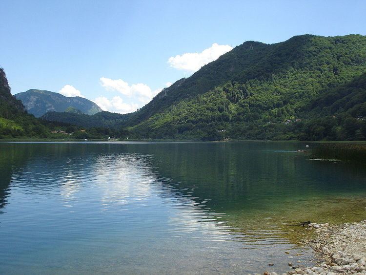
Boračko jezero is glacial lake, situated in Konjic Municipality, Bosnia and Herzegovina.
Map of Bora%C4%8Dko Lake, Jezero, Bosnia and Herzegovina
It lies at the northeastern foot of the mountain Prenj, at an altitude 397 m. From the west it is surrounded by steep forested mountain slopes of the Crna Gora (Monte Negro, 1343 m), and from the east Tranjine (1055 m). The Lake basin was created in the Boračka draga, during the expensive process of glacial erosion.
Boračko jezero has an elliptical shape. Its lenght is 786, and 402 m wide. Its surface area is 0.26 square kilometers. Length of lake shore is 2.4 km. The lake is the deepest in the southeastern narrow part of about 17 m, and contains about 2.5 mil.m³ water, which is due to the greenish color is transparent and up to 8.3 m. The water is warmest in August (about 25 °C), the coldest in February (0 °C).