
Postcode(s) 3480 State electorate(s) Lowan Mean min temp Annual rainfall Postal code 3480 | LGA(s) Shire of Yarriambiack Mean max temp Mean min temp Elevation 114 m Federal division Division of Mallee | |
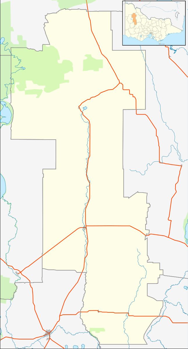 | ||
Location 310 km (193 mi) NW of Melbourne
69 km (43 mi) NE of Horsham
30 km (19 mi) SE of Warracknabeal | ||
Boolite is a small wheat farming town near Warracknabeal in Victoria, Australia.
Map of Boolite VIC 3392, Australia
The town had a hall that was used for dancing, fairs and concerts. There was a local school which had an annual picnic, and flower day. Furthermore, the school was able to raise significant funds for the war effort during the Great War. The town competed for the Emmett trophy in Australian football against other towns in the area. The town also participated in cricket. Today, little of the town remains.
References
Boolite, Victoria Wikipedia(Text) CC BY-SA