
Total islands 7 Highest elevation 300 m (1,000 ft) Elevation 300 m | Adjacent bodies of water Solomon Sea Major islands EastPanamoleHastings Highest point Mount Hastings Area 5.54 km² | |
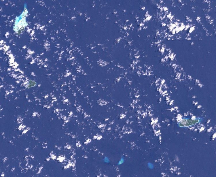 | ||
Bonvouloir Islands are a group of uninhabited islands of Papua New Guinea. They are in the Louisiade Archipelago. The islands are located 100 kilometres (62 miles) northwest of Misima and form the northernmost group of Louisiade archipelago . The main islands are East, Panamole (a.k.a. Strathord) and Hastings
Map of Bonvouloir Islands, Papua New Guinea
East Island is located 26 kilometres (16 miles) to the east of Hastings Island, and Panamole (a.k.a. Strathord) is located 9 kilometres (5.6 miles) to the north of Hastings Island. The islands are densely wooded, rocky, and Hastings Island has 200m high cliffs and many caves.
References
Bonvouloir Islands Wikipedia(Text) CC BY-SA