
OS grid reference SH673189 Sovereign state United Kingdom Postcode district LL40 Local time Monday 7:26 PM Dialling code 01341 | Country Wales Post town DOLGELLAU | |
 | ||
Weather 6°C, Wind W at 8 km/h, 93% Humidity | ||
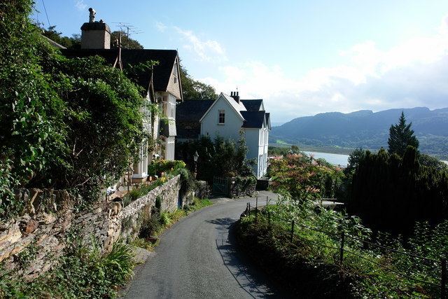
Bontddu, Dolgellau, Gwynedd, Wales is a small settlement east of Barmouth.
Map of Bontddu, Dolgellau, UK
Local tourism information describes a popular walk in the area of Bontddu:
'follows the 100 metre contour line along the estuary to the East of Borthwnog. Directly behind us walk up into the RSPB (Garth Gell) reserve and on up toward Cwm Mynach and beyond to the wilds of the Harlech Dome. Bear left from the latter path and double back behind the village of Bontddu and join the old drovers track across to Pont Scethin which allegedly was the scene of many highway robberies in the 17th century'.References
Bontddu Wikipedia(Text) CC BY-SA