
Population 7,978 (2011 census) LGA(s) City of Fairfield Bonnyrigg Mount Pritchard Postal code 2177 | Postcode(s) 2177 Area 3 km² | |
 | ||
Bonnyrigg is a suburb of Sydney, in the state of New South Wales, Australia 36 kilometres west of the Sydney central business district, in the local government area of the City of Fairfield. It is part of the Greater Western Sydney region.
Contents
- Map of Bonnyrigg NSW 2177 Australia
- History
- Location
- Commercial area
- Transport
- Demographics
- Education
- Soccer
- References
Map of Bonnyrigg NSW 2177, Australia
History
Bonnyrigg takes its name from Bonnyrigg, Midlothian, Scotland. In 1803, Governor King granted land for the building of an orphanage. A two-storey Georgian house was erected in Brown Road and became the Male Orphan Schoolchildren's Residence. It was extended around 1914 and is now listed on the Register of the National Estate.
Location
Bonnyrigg lies approximately 30 kilometres west of Sydney's central business district as the crow flies and about 36 kilometres by road. Its closest major regional centre is Liverpool. The suburb is shaped like a diamond. The suburbs of Mount Pritchard and Cabramatta West lie to the east on the other side of Green Valley Creek. St Johns Park, Greenfield Park and Edensor Park lie to the north. Bonnyrigg Heights, Hinchinbrook and Green Valley are to the west. Busby and Heckenberg lie to the south.
Currently the town centre is undergoing a major regeneration through a new housing scheme - Newleaf Bonnyrigg. This will replace over 800 dwellings with 2,330 new homes that will see the town's population increase by over 3,000 people over 12 years to 2022. The project is being delivered through a Public Private Partnership with Housing New South Wales called Newleaf.
Commercial area
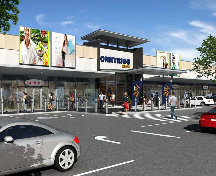
Bonnyrigg's commercial area consists of a main hub around Bonnyrigg Plaza, a shopping centre located on Bonnyrigg Avenue. Bonnyrigg Plaza has undergone minor renovation and is due to undergo further renovations. This commercial area also has several community facilities such as a PCYC, an office of the Housing NSW department and a public library. A Bunnings hardware store is located opposite to the plaza and the local primary school is adjacent to Bonnyrigg Plaza.
Brown Road in Bonnyrigg is also a commercial area, albeit smaller. It contains several mixed business Asian stores, a Vietnamese and Chinese restaurant and take away, newsagency and Liberty petrol station.
Transport
The closest train station is Cabramatta, on the Airport, Inner West & South Line and Bankstown Line. There are bus links to Cabramatta Station and other nearby stations.
Bonnyrigg is served by several bus routes operated by Transit Systems Sydney. The Liverpool to Parramatta T-way transitway service, the T80, operates via Bonnyrigg, stopping near Bonnyrigg Plaza.
Demographics
According to the 2011 census of Population, there were 7,978 residents in Bonnyrigg. In Bonnyrigg, 42.0% of people were born in Australia. The most common countries of birth were Vietnam 19.1%, Cambodia 5.4%, Iraq 3.5% and Laos 3.4%. 22.6% of people only spoke English at home.
Other languages spoken at home included Vietnamese 28.1%, Khmer 5.7%, Arabic 4.5% and Cantonese 4.3%. The most common responses for religion in Bonnyrigg were Buddhism 33.6%, Catholic 25.8% and Anglican 4.3%.
Education
Soccer
Bonnyrigg is home to the New South Wales Premier League soccer club Bonnyrigg White Eagles Football Club.