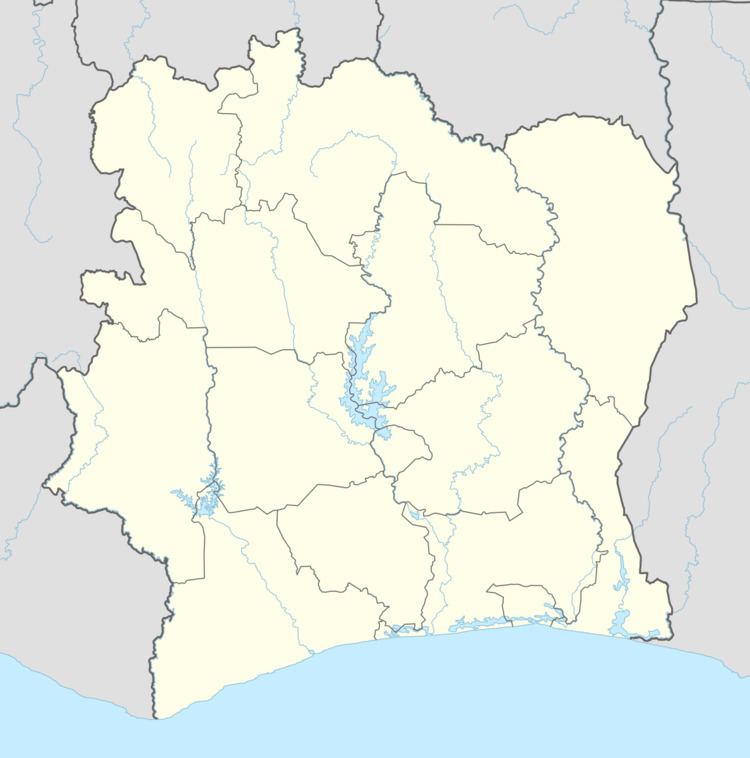
Region Sud-Comoé Time zone GMT (UTC+0) Population 25,052 (2014) | District Comoé Local time Monday 5:42 PM | |
 | ||
Weather 28°C, Wind SW at 10 km/h, 79% Humidity | ||
Bongo is a town in south-eastern Ivory Coast. It is a sub-prefecture of Grand-Bassam Department in Sud-Comoé Region, Comoé District.
Map of Bongo, The Ivory Coast
Bongo was a commune until March 2012, when it became one of 1126 communes nationwide that were abolished.Bongo is in fact a gathering of four different villages. the division is based on the will of the Well known rubber company, SAPH, to set dwelling places for its workers. Among the villages we have Bongo, which comprises V1 and Bongo Village (V1 and Bongo village form one place), then we have V2 commonly known as Point d'Eau (because of the river flowing in it), V3 commonly name G12 (because of its geographic location between the 25 hectares of rubber trees identified as G11 and the other 25 hectares of rubber trees identified as G13), the fourth village is CU (Centre Usine) that name is due to the fact that the rubber transformation factory is located in this village, CU is commonly known as Dragage.
