
State Piauí Time zone UTC -3 Local time Monday 9:38 AM | Region Nordeste Mesoregion Sudoeste Piauiense Area 5,469 km² | |
 | ||
Weather 28°C, Wind NE at 6 km/h, 72% Humidity | ||
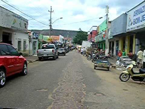
Bom Jesus is a municipality in the state of Piauí in the Northeast region of Brazil.
Contents
Map of Bom Jesus - Piau%C3%AD, Brazil
The municipality contains part of the 823,843 hectares (2,035,760 acres) Serra das Confusões National Park, created in 1998, which protects an area of the Caatinga biome.
Name
Bom Jesus means "Good Jesus" in Portuguese.
Geography and climate
Bom Jesus is a semi-arid hot town. It received national recognition in November 21, 2005 when it was measured the temperature of 44.7 °C (112.4 °F) in the town, the highest ever officially recorded in Brazil.
The municipality contains part of the Uruçui-Una Ecological Station.
References
Bom Jesus, Piauí Wikipedia(Text) CC BY-SA