
 | ||
Similar Dorset Cursus, Cranborne Chase, Hod Hill, Mount Pleasant henge, Badbury Rings | ||
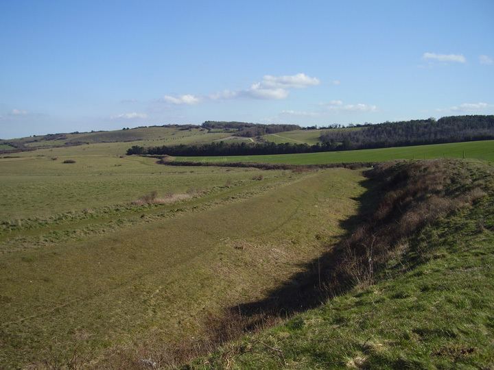
Bokerley Dyke (or Bokerley Ditch) is a Romano-British defensive dyke 3.25 miles (5.2 km) long in north east Dorset, England, near the villages of Woodyates and Pentridge.
Bokerley Dyke may have originated in the Bronze Age or Early Iron Age and formed a political and cultural boundary. It was cut through by a Roman Road (Ackling Dyke running between Old Sarum and Badbury Rings) in the 1st century.
In the 4th century it was remodelled and bought back into use, and excavations show that the Roman road was blocked. A coin of Valens dates this activity to shortly after 364 AD. It may have been built in 367-8 AD when Roman sources report that Britain was attacked by Picts, Scots and Saxons in a supposed Great Conspiracy. The Roman road was later reopened, but the dyke may have continued in use after the cessation of the Roman rule and still forms part of a boundary between the counties of Dorset and Hampshire.
Bokerley Dyke is continuous with Grim's Ditch which runs into Hampshire.