
 | ||
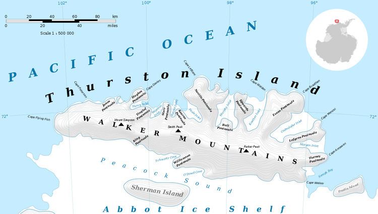
The Boker Rocks (72°28′S 98°29′W) are a rocky exposure located 5 nautical miles (9 km) northeast of Von der Wall Point on the south coast of Thurston Island. The feature was mapped by the United States Geological Survey from surveys and from U.S. Navy air photos, 1960–66, and named by the Advisory Committee on Antarctic Names for Helmut C. Boker, a meteorologist at Byrd Station, 1964–65.
Maps
References
Boker Rocks Wikipedia(Text) CC BY-SA