Population 1,235 (2011 census) Postal code 4575 | Postcode(s) 4575 Area 100 ha Parish Bribie Island | |
 | ||
Location 9 km (6 mi) N of Caloundra12 km (7 mi) SSE of Maroochydore | ||
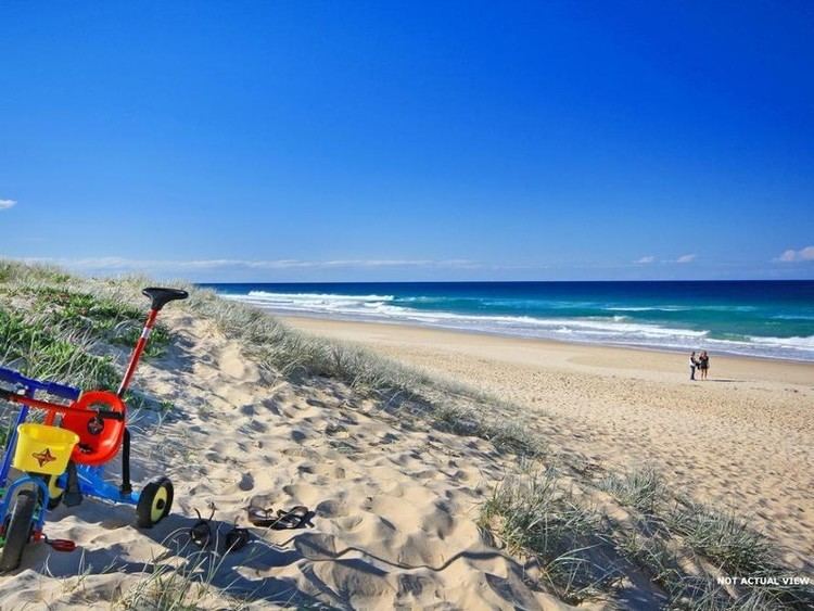
Bokarina is a coastal suburb of Sunshine Coast Region, Queensland, Australia, located within the Kawana Waters urban centre.
Contents
Map of Bokarina QLD 4575, Australia
History
Kawana Waters State High School opened 28 January 1986. Bokarina State School opened on 27 January 1987. On 1 January 2006 the two schools was amalgamated to form Kawana - Bokarina State College, which was renamed on 3 March 2006 to become Kawana Waters State College.
Demographics
In the 2011 census, Bokarina recorded a population of 1,235 people, 50.9% female and 49.1% male.
The median age of the Bokarina population was 38 years, 1 year above the national median of 37.
81.8% of people living in Bokarina were born in Australia. The other top responses for country of birth were England 5.1%, New Zealand 4.7%, Philippines 0.6%, Scotland 0.5%, Germany 0.5%.
93.9% of people spoke only English at home; the next most common languages were 0.6% German, 0.6% Mandarin, 0.4% Tagalog, 0.4% Cantonese, 0.3% Punjabi.
