
Country United States GNIS feature ID 1660355 Local time Sunday 10:02 PM | Time zone Pacific (PST) (UTC-8) Elevation 964 m | |
 | ||
Weather 2°C, Wind NE at 14 km/h, 70% Humidity | ||
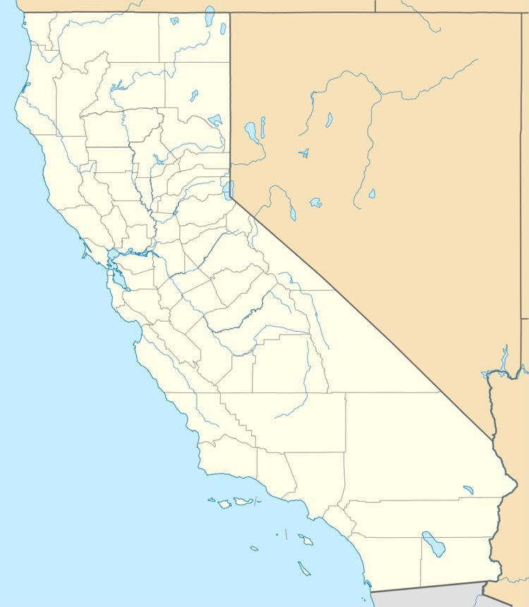
Boiling Point is an unincorporated community located in Los Angeles County, California.
Map of Boiling Point, CA 91390, USA
The settlement is located along the Sierra Highway, 12 mi (19 km) west of Palmdale.
Ritter Ranch Park, a multi-purpose recreational area, is located north of the settlement along Boiling Point Road.
References
Boiling Point, California Wikipedia(Text) CC BY-SA