
Postcode(s) 3531 Boigbeat Springfield Local time Monday 4:53 PM | Elevation 77 m Postal code 3531 | |
 | ||
Location 343 km (213 mi) from Melbourne74 km (46 mi) from Swan Hill11 km (7 mi) from Berriwillock9 km (6 mi) from Sea Lake Weather 31°C, Wind SE at 14 km/h, 21% Humidity | ||
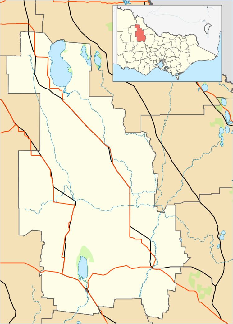
Boigbeat is a locality situated in The Mallee region. It is situated about 9 kilometres south east from Sea Lake and 11 kilometres north west from Berriwillock.
Map of Boigbeat VIC 3531, Australia
The place name Boigbeat is derived from the traditional Aboriginal word for the location which was Boigbeal with the word beal meaning "redgum" and referring to the only clump of gum trees for many miles.
Boigbeat Post Office opened on 1 July 1898 and closed in 1970.
References
Boigbeat, Victoria Wikipedia(Text) CC BY-SA