
Population 504 (2011 census) Time zone AEST (UTC+10) Region Hunter Elevation 7.2 m Local time Monday 8:44 AM | Postcode(s) 2316 LGA(s) Port Stephens Council Area 37.3 km² Postal code 2316 | |
 | ||
Location 191 km (119 mi) NNE of Sydney
43.8 km (27 mi) NE of Newcastle
29 km (18 mi) E of Raymond Terrace Weather 20°C, Wind SW at 23 km/h, 77% Humidity | ||
Bobs Farm is a sparsely populated rural suburb of the Port Stephens local government area in the Hunter Region of New South Wales, Australia. It is on the main road between Newcastle and Nelson Bay and is home to a number of small, boutique style vineyards and wineries and a thriving aquaculture industry.
Contents
Map of Bobs Farm NSW 2316, Australia
Geography
Bobs Farm is the first suburb of the Tomaree Peninsula when travelling towards Nelson Bay. It is bounded on the north almost entirely by Tilligerry Creek. A small part at the north-eastern end of the northern border meets Port Stephens. The southern border is occupied entirely by Stockton Beach.
Demographics
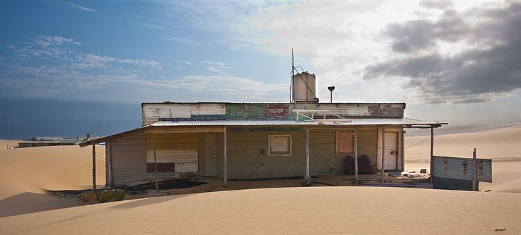
Most of the suburb's population lies along the two main roads in the area, Marsh Road and Nelson Bay Road. Tin City, a collection of squatters shacks is built on Stockton Beach near the border between Bobs Farm and Salt Ash.
Aquaculture industry
Bobs Farm is the centre of a thriving, environmentally friendly, aquaculture industry that exports technology. In 2007 pioneering aquaculture technology, based around a recirculating system that is the only one in the world to provide consistent reproduction, was sold for the creation of six farms in the United States. As of 2007, discussions were in progress with companies in Africa, the Middle East, Europe and Asia. An education and tourism centre was constructed at the site of Tailor Made Fish Farms in 2007. In addition to it being environmentally friendly and providing consistent results, the technology developed at Bobs Farm is expected to reduce capitalisation costs.