
OS grid reference SX343630 Post town LISKEARD Local time Sunday 4:34 PM | Sovereign state United Kingdom Postcode district PL12 Dialling code 01752 | |
 | ||
Weather 9°C, Wind W at 56 km/h, 69% Humidity | ||
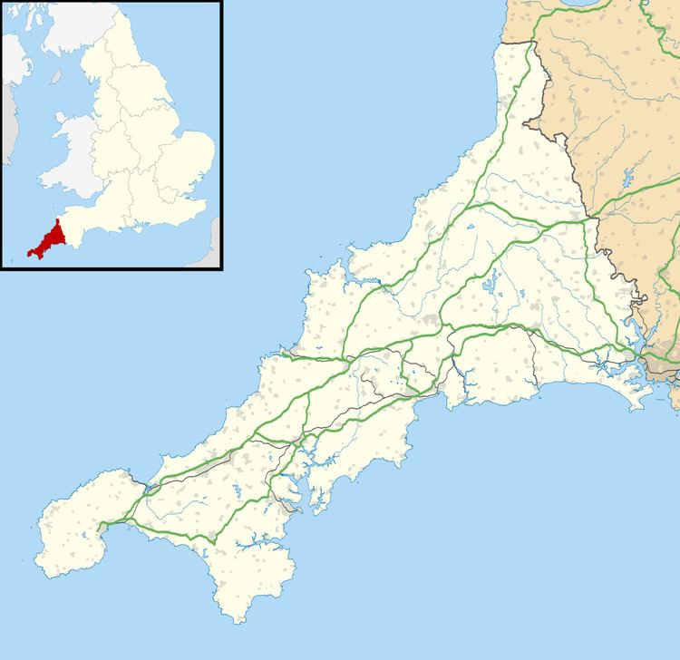
Blunts is a hamlet southeast of Quethiock in the civil parish of Quethiock (where the 2011 Census population was included) in east Cornwall, England, United Kingdom. It is situated west of the River Lynher valley about 5 miles (8 km) north-west of Saltash on the road from Quethiock village to Landrake. The meaning of Blunts is "Blunt family's workshop". The hamlet has a Methodist chapel, a garage, a farm outlet for free-range eggs and a Women's Institute.
Map of Blunts, Saltash, UK
References
Blunts, Cornwall Wikipedia(Text) CC BY-SA