
Normal elevation 267 m | Surface area 762 acre | |
 | ||
Purpose Flood control, recreation, secondary water supply (Pawhuska, Oklahoma) | ||
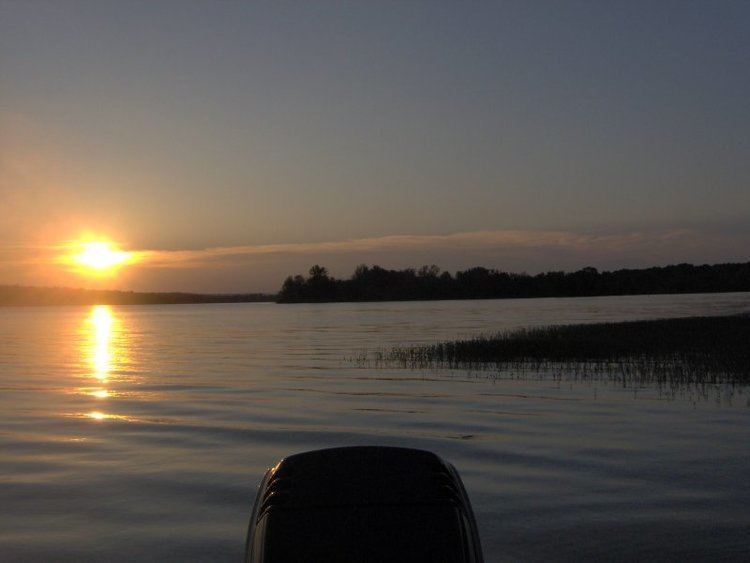
Bluestem Lake is a reservoir in Osage County, Oklahoma, about 4.5 miles (7.2 km) northwest of Pawhuska. It is at the convergence of Middle Bird Creek and South Bird Creek. The outflow is Middle Bird Creek. The lake has a surface of 762 acres (3.08 km2) and a shoreline of 19 miles (31 km).
Map of Bluestem Lake, Oklahoma 74056, USA
Coordinates are:Latitude: 36°42'19.7" Longitude: -96°25'9.06". Elevation above sea level is 267 metres (876 ft).
The lake is a secondary water source for Pawhuska and also was designed for flood control and recreation.
References
Bluestem Lake Wikipedia(Text) CC BY-SA