
Country United States County Hamilton FIPS code 39-07377 Elevation 238 m | State Ohio Time zone Eastern (EST) (UTC-5) GNIS feature ID 1064459 Population 959 (2010) | |
 | ||
Area 11.4 km² (11.4 km² Land / 10 ha Water) | ||
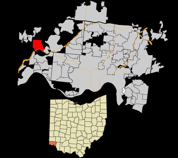
Blue Jay is a census-designated place (CDP) in Whitewater Township, Hamilton County, Ohio, United States. The population was 959 at the 2010 census.
Contents
Geography
Blue Jay is located at 39°13′37″N 84°44′13″W, along Harrison Pike, 18 miles (29 km) northwest of Cincinnati. An interchange between Interstate 74 and Interstate 275 is south of the center of the CDP. Harrison, Ohio is located just west of Blue Jay.
According to the United States Census Bureau, the CDP has a total area of 4.4 square miles (11.4 km2), of which 4.4 square miles (11.3 km2) is land and 0.04 square miles (0.1 km2), or 0.79%, is water.
Recreation
The Miami View Golf Club is located just east of Blue Jay in Miamitown, Ohio. It is an 18- hole golf course established in 1960.
References
Blue Jay, Ohio Wikipedia(Text) CC BY-SA