
Population 6,167 (2011 census) Postcode(s) 2262 Area 250 ha | Established 1991 Founded 1991 Postal code 2262 | |
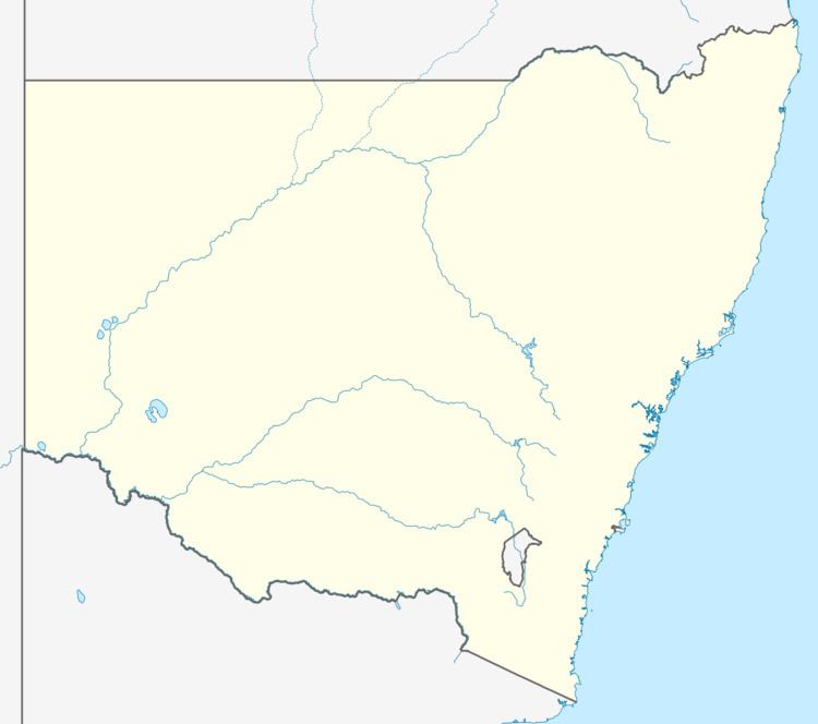 | ||
Location 16 km (10 mi) NE of Wyong | ||
Blue Haven is a suburb on the Central Coast of New South Wales, Australia, located on Pacific Highway at Wallarah Creek. Its local government area is Central Coast Council.
Contents
History
Blue Haven was once made up of several dirt roads (the main road being 'Roper Road', the only way in or out of Blue Haven at the time) and surrounded by bushland. It's now made up of hundreds of streets and has 3 different main entries and exits. The wetland areas are now preserved areas. Blue Haven, in the past, would suffer from constant bushfires in the dry season.
Pre-1991
Before it was named Blue Haven, the suburb was known as Blueridge Estate - and depending on where mail was sent, the northern area was Doyalson and the southern area was Charmhaven.
Geography
Blue Haven is bounded by Pacific Highway to the east, the Doyalson Link Road (linking to the Sydney-Newcastle Freeway) to the north, Spring Creek to the west and Wallarah Creek to the south. Spring Creek and Wallarah Creek are connected to Tuggerah Lake, one of Australia's largest coastal saltwater lakes.
Education
Blue Haven contains a state primary school, Blue Haven Public School (No.4623), which commenced in 1999 and, as of 2 September 2008, had over 600 students from kindergarten to year 6, and 33 teaching and administrative staff. The neighbouring suburb of San Remo is home to Northlakes High School, which opened in 1981 and has over 1000 students.
Environment
There are several wetland areas located in the southern parts of the town. Blue Haven also has an Oval, skate park, basketball courts and a community centre located on Apsley Court.
The Community Centre incorporates an After School Care facility and a "Schools as Community Centre" that operates in conjunction with Blue Haven Public School.
There are also several parks and reserves located within the estate, these include:
In early 2016, an Aldi supermarket opened on the corner of Blue Haven Way and Roper Rd. Blue Haven previously had only one shop, Blueys Grocery, Takeaway & More Store located 2 White Swan Drive. The shop changed ownership in 2016 and is now operating as a cafe and takeaway.
Transport
Blue Haven is served by two public transport routes, provided by Busways Wyong:
Local Sport
Blue Haven Raiders Junior Rugby League Club was established in 2006 by foundation members Brian Howden, Mark D'Silva and Mick & Jackie James.
Blue Haven entered the Central Coast competition in 2007 with 10 teams. Every year the Raiders have increased in size. In 2010, the Raiders expanded to 20 teams, 280 boys and girls participating from 6 to 16 years.
The Green Machine as they are affectionately known, will join the Central Coast Senior Rugby league Competition in 2011, entering two U/17 and one U/19 team. Many believe that the Raiders are not that far away from delivering the community a quality first grade rugby league team.
Blue Haven Raiders J.R.L.C visit www.bluehavenraiders.com.au