
- location Owyhee County, Idaho - elevation 5,289 ft (1,612 m) Mouth Owyhee River | - elevation 6,097 ft (1,858 m) Length 85 km Country United States of America | |
 | ||
- location northwest of Owyhee, Nevada, Owyhee County, Idaho | ||
Blue Creek is a 53-mile (85 km) long tributary of the Owyhee River in the U.S. state of Idaho. Beginning at an elevation of 6,097 feet (1,858 m) in central Owyhee County, it flows generally south through the Owyhee Desert and near the community of Riddle, where it is roughly paralleled by Idaho State Highway 51. It then flows into the Duck Valley Indian Reservation to its mouth near the Idaho/Nevada border northwest of Owyhee, Nevada, at an elevation of 5,289 feet (1,612 m).
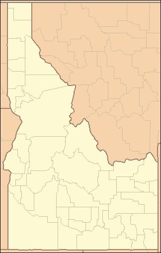
Map of Blue Creek, Idaho, USA
References
Blue Creek (Owyhee River) Wikipedia(Text) CC BY-SA