
Country United States County DuPage Time zone CST (UTC-6) Population 111,899 (2010) | State Illinois Settled November 6, 1849 Elevation 238 m | |
 | ||
ZIP codes 60101, 60103, 60108, 60137, 60139, 60143, 60148, 60157, 60172, 60185, 60188, 60190 Weather 0°C, Wind SE at 19 km/h, 72% Humidity Points of interest Rockin' Jump Carol Stream, East Branch Forest Pr, Turner Park, Spring Creek Reservoir, Meacham Forest Preserve | ||
Bloomingdale Township is one of nine townships in DuPage County, Illinois, USA. As of the 2010 census, its population was 111,899 and it contained 42,395 housing units.
Contents
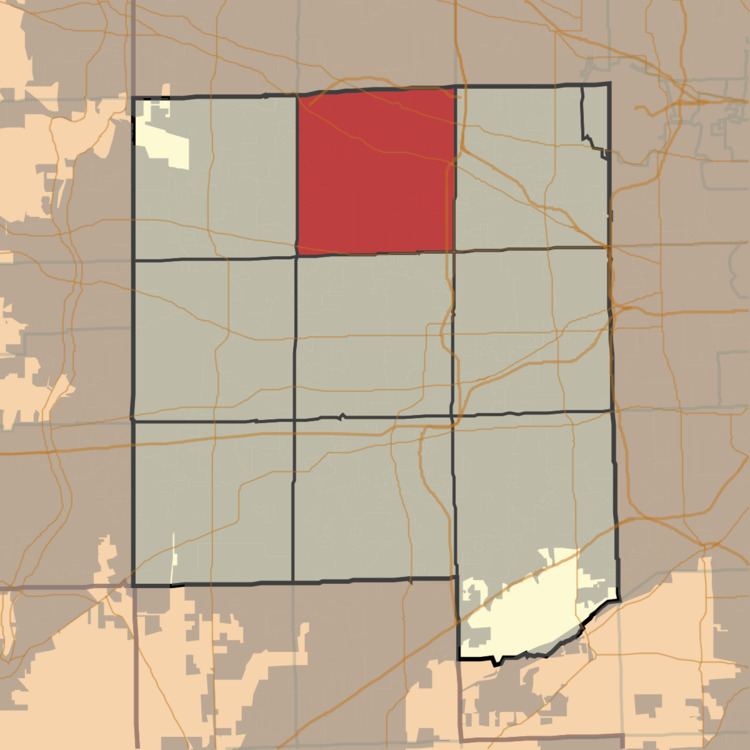
- Map of Bloomingdale Township IL USA
- Geography
- Cities towns villages
- Unincorporated towns
- Cemeteries
- Major highways
- Airports and landing strips
- Lakes
- Landmarks
- Political districts
- References
Map of Bloomingdale Township, IL, USA
Geography
According to the 2010 census, the township has a total area of 35.3 square miles (91 km2), of which 34.01 square miles (88.1 km2) (or 96.35%) is land and 1.29 square miles (3.3 km2) (or 3.65%) is water.
Cities, towns, villages
Unincorporated towns
(This list is based on USGS data and may include former settlements.)
Cemeteries
The township contains these seven cemeteries: Bloomingdale, Cloverdale, Freinenigreit, Old Ontarioville, St. Andrew Ukrainian Orthodox, St. Isidore's and St. Luke's Lutheran.
Major highways
Airports and landing strips
Lakes
Landmarks
Political districts
References
Bloomingdale Township, DuPage County, Illinois Wikipedia(Text) CC BY-SA